Global Croplands for Food and Water Security and Hyperspectral Remote Sensing of Agriculture and Vegetation
Dr Prasad Thenkabail | United States Geological Survey | Flagstaff | Arizona | USA
Abstract: This presentation touches upon three critical issues of advancement in remote sensing data and science.
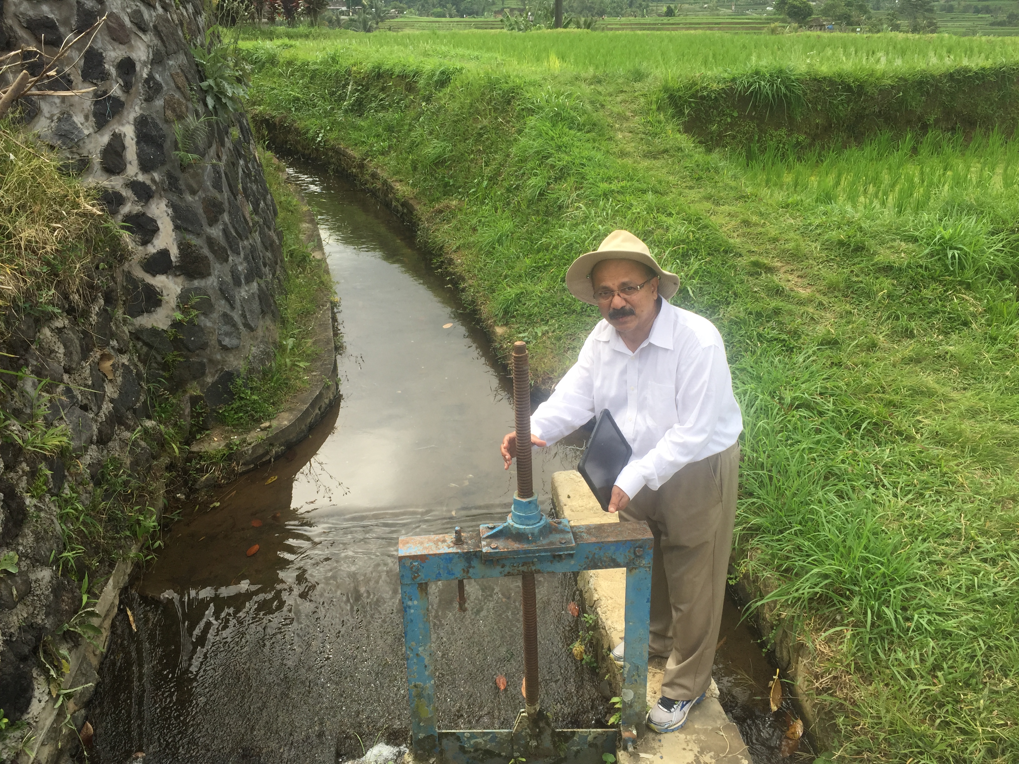
First, mapping global croplands is of critical for our understanding, modelling, mapping, and monitoring food and water security. With global population expected to reach nearly 10 billion by 2050, ensuring food and water security is of great importance and requires immediate attention. In this context, this presentation will outline and discuss the World’s first Landsat satellite derived global cropland extent @ 30-m produced for nominal year 2015 (www.croplands.org). For the entire world, the global cropland extent product had an overall accuracy of 91.7%. For the cropland class, the producer’s accuracy was 83.4% (errors of omission of 16.6%) and user’s accuracies of 78.3% (errors of commissions of 21.7%). Global net cropland area (GNCA) was 1.873 billion hectares (~12.6% of the Earth’s terrestrial area). The talk will present and discuss 30-m global cropland extent, accuracies, and areas.
Second, this presentation summarizes the advances made in the last 50 years in study of hyperspectral remote sensing of agricultural crops and vegetation. The advent of spaceborne hyperspectral sensors or imaging spectroscopy (e.g., NASA’s Hyperion, ESA’s PROBA, and upcoming Italy’s ASI’s Prisma, Germany’s DLR’s EnMAP, Japanese HIUSI, NASA’s HyspIRI) as well as the advances made in processing when handling large volumes of hyperspectral data have generated tremendous interest in advancing the hyperspectral applications’ knowledge base to large areas. The presentation will discuss topics such as: (1) hyperspectral sensors and their characteristics, (2) methods of overcoming the Hughes phenomenon, (3) characterizing biophysical and biochemical properties, (4) advances made in using hyperspectral data in modelling evapotranspiration or actual water use by plants, (5) study of phenology, light use efficiency, and gross primary productivity, (5) improved accuracies in species identification and land cover classifications, and (6) applications in precision farming.
Third, advent of cloud computing platforms such as the Google Earth Engine (GEE), advances in machine learning algorithms and artificial intelligence for classification and modelling, and access to large volumes of training and validation data from sub-meter to 5-m imagery as well as mobile Apps have revolutionized remote sensing methods and approaches for classification, modelling, and mapping. These “paradigm-shift” in how we approach remote sensing data and science will be discussed in context of the above mentioned studies.